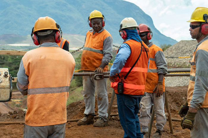
Geolabor's Field Investigations solution was developed to promote technical and managerial data management in geotechnical and geological in situ investigations.
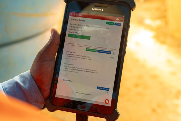
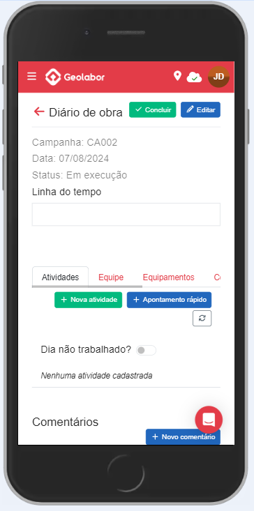
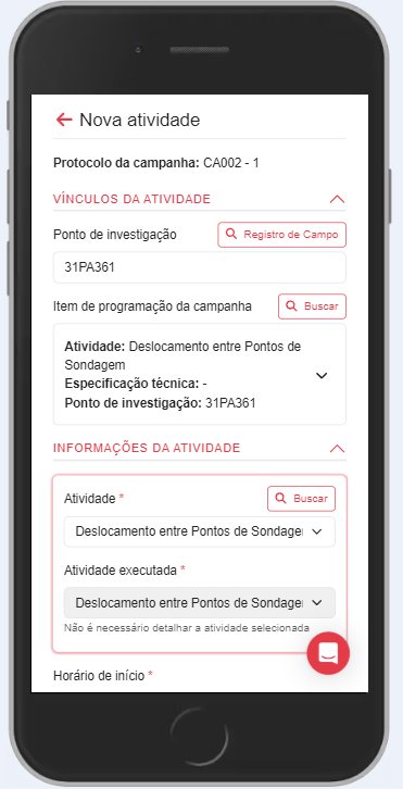
It promotes a digital work model focused on targeted data collection in the field centralized on two main components: daily log book and digital field reports.
The subsequent verification and approval stages are also included, involving the different agents, such as field coordinators, inspectors, geologists, managers, etc.
Its use guarantees reliability, standardization, evidence, and agility in the entire workflow, optimizing service and building a structured and categorized database enabling analytical models.
Real-time data control and visualization
Real-time surveillance of the activities carried out by the field teams;
Greater agility in the information flow, responses, and decision-making;
Reduce unproductive periods.
Standardization and quality of records
Improve the quality of field records;
Ensuring the standardization and completeness of the daily log books;
Standardize the activity notes, as well as the recording criteria. Define the necessary photographic evidence and the detail level required for each case.
Organized and intelligent reports and processes
Ensure the standardization of geological description;
Calculate and carry out automated processing of field tests;
Customize the field report, calculation, and geological description templates.
In addition, the IGC module offers:
Centralization of all contract information in a single environment, making planning, monitoring, communication, control, and analysis easier;
Full traceability of all information entered into the system;
Immediate availability of the geotechnical information collected in the field to the other members of the workflow;
Automatic report generation;
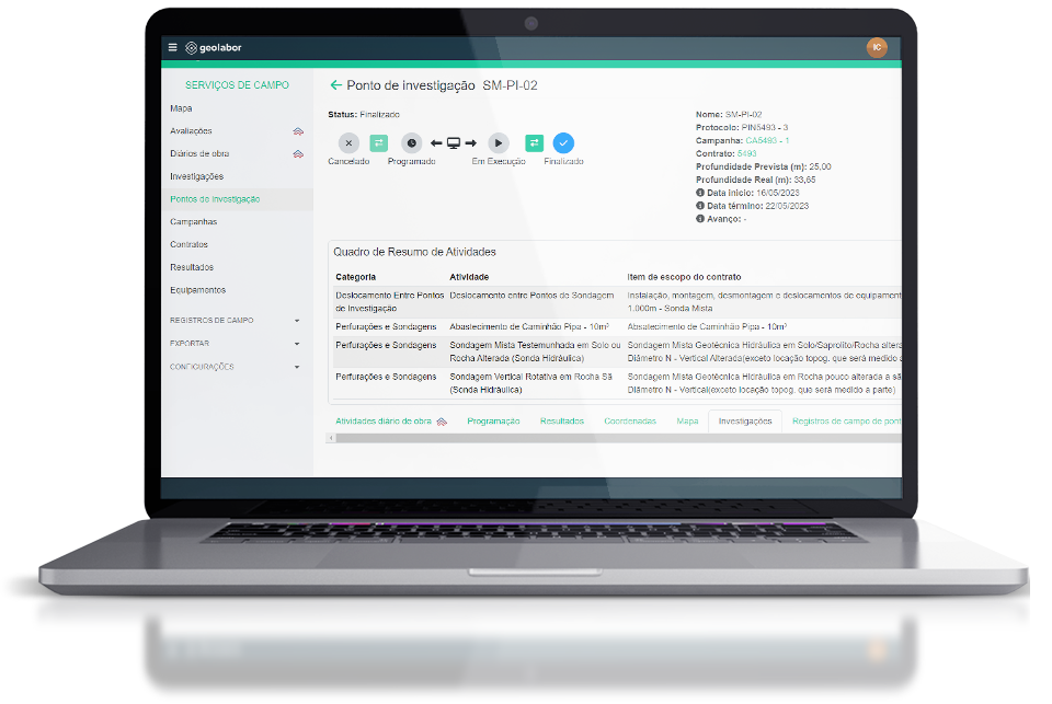
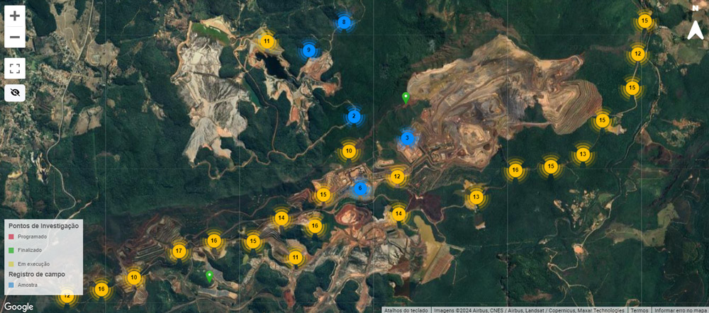
Creation of complete records of investigation points, bringing together technical and management information;
Construction of an extremely complete, categorized, and organized database;
Digitization of the entire approval process for daily log books;
Simplification of the service measurement process.
Learn more about the module with Samarco's case
Geolabor’s Geotechnical Investigations solution was developed to coordinate the entire flow of information in geotechnical and geological investigations in situ. It promotes a digital work model focused on targeted data collection in the field condensed into two main components: daily log books and digital field reports. All the technical and managerial aspects involved in the activities, as well as, the subsequent steps and players in the process are covered. Its use guarantees reliability, standardization, evidence generation, and agility in all stages, optimizing the service completely while building a structured and categorized database that enables the generation of analytical models.